Google Street View Colonia el Tomatal (Kilómetro 128), Guerrero |
|
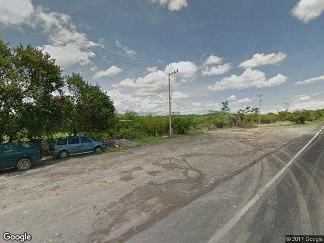
Google Maps Street View of Colonia el Tomatal (Kilómetro 128), Iguala de la Independencia, Guerrero, Mexico. Find where is Colonia el Tomatal (Kilómetro 128) located. Zoom in and zoom out the satellite map. Search for street addresses and locations. Find latitude,longitude and elevation for each position of the Google Street View Marker. Get accommodation in Colonia el Tomatal (Kilómetro 128) or nearby Colonia el Tomatal (Kilómetro 128) |